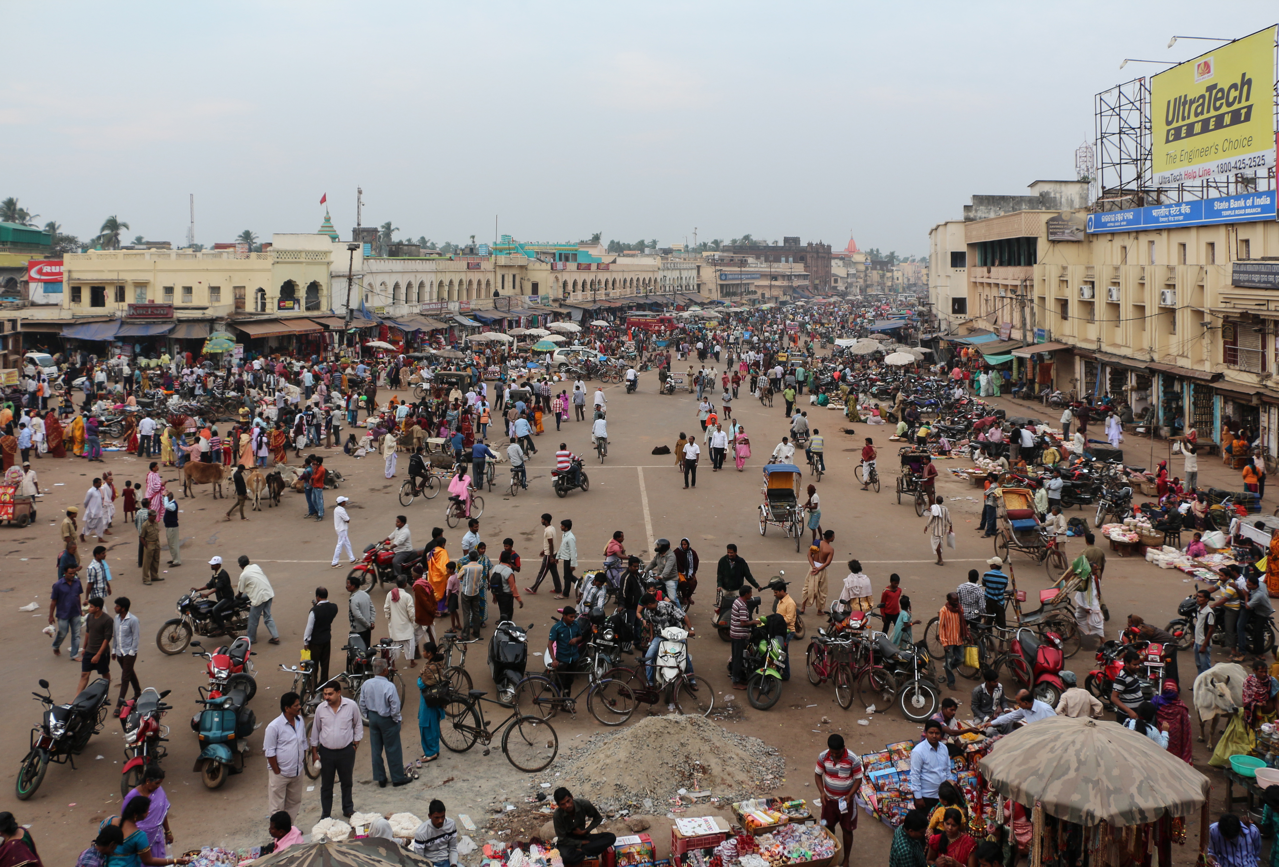
Kategooriad asukohas Gop
AutoremontAuto varuosade poodBensiinijaamMootorrataste remondi-HulgimüüjadKalakasvatusLinnufarmPõllumajandusRiisiveskiTsemendi tarnijaJuveelid ja kelladKingapoedRõivakauplusedMobiiltelefonide kauplusedHindu templeKlubiKohalikud valitsusasutusedKülakeskusMittetulunduslik organisatsioonMošeedRahvamajaReligioonRiigiasutusUsuline sihtkohtElektroonikapoodMobiiltelefonide remonditöökodaMobiiltelefonide tarvikute poodEhitus majadeElamuarendusKodutarvete poodRauakauplusAlgkoolAlgkoolHaridusHaridusasutusHariduskeskusKeskkoolÜldhariduskoolStaadionid ja areenidTurismimagnetIndia restoranidesInternetikohvikutesJäätisepoodKiirtoidurestoranKohvikKohvikudKommipoestPagariäridPiima kojukanneRestoranid
Näidatakse tulemusi 1-50 of 81 tulemusest.
Tööstused
Ettevõtete jaotus tööstusharude kaupa piirkonnas Gop
| Tööstusharu kirjeldus | Asutuste arv |
|---|---|
| Hindu temple | 211 |
| Haridus | 106 |
| Ostlemine | 84 |
| Reisimine ja transport | 30 |
| Toidukauplused ja supermarketid | 29 |
| Muu ostlemine | 29 |
| Elektroonika kauplused | 28 |
| Religioon | 27 |
| Avalik haldus | 26 |
Gop faktid
| ala | 145.5 km² |
| Rahvastik | 113 921 |
| Meeste populatsioon | 57 744 (50.7%) |
| Naisrahvastik | 56 177 (49.3%) |
| Rahvastiku muutus (1975 to 2020) | +81.8% |
| Rahvastiku muutus (2000 to 2020) | +11.6% |
| Mediaanvanus | 28.7 aastat (Mehed: 28.7, Naised: 28.6) |
| SKT elaniku kohta (PPP) | $7463 (2022) |
| Kohalik Aeg | |
| Ajatsoon | India aeg |
| Laius- ja pikkuskraad | 19.98543, 86.02562 |
| Postiindeksid | 752110, 752116 |
Asukoha Gop kaart
Interaktiivne kaart
Gop rahvastik
Aastad 1975 kuni 2030
| Data | 1975 | 1990 | 2000 | 2015 | 2020 | 2025* | 2030* |
|---|---|---|---|---|---|---|---|
| Rahvastik | 62 670 | 87 874 | 102 079 | 114 190 | 113 921 | 115 824 | 117 915 |
| Rahvastiku tihedus | 430,7 / km² | 603,9 / km² | 701,6 / km² | 784,8 / km² | 783 / km² | 796 / km² | 810,4 / km² |
* Prognoositud
Allikad: JRC (European Commission's Joint Research Centre) töötama GHS built-up gridGop rahvastiku muutus aastast 2000 aastani 2020
Kasv 11.6% aastast 2000 aastani 2020
| Asukoht | Muutus alates 1975 | Muutus alates 1990 | Muutus alates 2000 |
|---|---|---|---|
| Gop | +81.8% | +29.6% | +11.6% |
| Odisha | — | — | — |
| India | — | — | — |
Allikad: JRC (European Commission's Joint Research Centre) töötama GHS built-up grid
Gop mediaanvanus
Mediaanvanus: 28.7 aastat
| Asukoht | Mediaanvanus | Keskmine vanus (naine) | Keskmine vanus (mees) |
|---|---|---|---|
| Gop | 28.7 yrs | 28.6 yrs | 28.7 yrs |
| Odisha | 26.6 yrs | 26.6 yrs | 26.6 yrs |
| India | 24.9 yrs | 25.4 yrs | 24.5 yrs |
Allikad: CIESIN (Center for International Earth Science Information Network)
Gop rahvastikutihedus
Rahvastikutihedus: 783 / km²
| Asukoht | Rahvastik | ala | Tihedus |
|---|---|---|---|
| Gop | 113 921 | 145,5 km² | 783 / km² |
| Odisha | 44,8 million | 155 874,5 km² | 287 / km² |
| India | 1307 million | 3 083 563,4 km² | 424 / km² |
Allikad: JRC (European Commission's Joint Research Centre) töötama GHS built-up grid
Gop ajalooline ja prognoositud rahvastik
Hinnanguline rahvastik aastast 0 aastani 2100
Allikad:
- JRC (European Commission's Joint Research Centre) töötama GHS built-up grid
- CIESIN (Center for International Earth Science Information Network)
- [Link] Klein Goldewijk, K., Beusen, A., Doelman, J., and Stehfest, E.: Anthropogenic land use estimates for the Holocene – HYDE 3.2, Earth Syst. Sci. Data, 9, 927–953, https://doi.org/10.5194/essd-9-927-2017, 2017.
Inimarengu indeks (HDI)
Eeldatava eluea, hariduse ja elaniku sissetuleku statistiline liitindeks.
Allikas: [Link] Kummu, M., Taka, M. &Guillaume, J. Globaalsed võrgustatud andmestikud sisemajanduse koguprodukti ja inimarengu indeksi kohta perioodil 1990–2015. Sci Data 5, 180004 (2018) doi:10.1038/sdata.2018.4
Gop sisemajanduse koguprodukt (SKT)
SKT elaniku kohta, PPP (2017. aasta püsivates rahvusvahelistes dollarites)
| Data | 1990 | 1995 | 2000 | 2005 | 2010 | 2015 | 2020 | 2022 |
|---|---|---|---|---|---|---|---|---|
| SKT elaniku kohta | $1834 | $1986 | $2386 | $3234 | $4107 | $5612 | $6526 | $7463 |
| SKT kokku | $65,9 mln | $78,9 mln | $102,7 mln | $148 mln | $197 mln | $281,5 mln | $339,9 mln | $390,8 mln |
Allikas: [Link] Kummu, M., Kosonen, M. & Masoumzadeh Sayyar, S. Downscaled gridded global dataset for gross domestic product (GDP) per capita PPP over 1990–2022. Sci Data 12, 178 (2025) doi:10.1038/s41597-025-04487-x
Gop CO2 heitkogused
Süsinikdioksiidi (CO2) heide inimese kohta tonnides aastas
| Asukoht | CO2 heitkogused | CO2 emissioon elaniku kohta | CO2 heite intensiivsus |
|---|---|---|---|
| Gop | 164,224 tn | 1.44 tn | 1,128.7 tons/km² |
| Odisha | 59,545,301 tn | 1.33 tn | 382 tons/km² |
| India | 1,928,568,344 tn | 1.48 tn | 625.4 tons/km² |
Allikad: [Link] Moran, D., Kanemoto K; Jiborn, M., Wood, R., Többen, J., and Seto, K.C. (2018) 13 000 linna süsinikuheited. Environmental Research Letters DOI: 10.1088/1748-9326/aac72a
Gop CO2 heitkogused
| 2013. aasta CO2 heitkogused (tonni/aastas) | 164,224 tn |
| 2013. aasta CO2 heitkogused (tonni/aastas) inimese kohta | 1.44 tn |
| 2013. aasta CO2 heitkoguste intensiivsus (tonni/km²/aastas) | 1,128.7 tons/km² |
Looduslike ohtude oht
Suhteline risk 10st
| Oht | Riski tase |
|---|---|
| Põud | Kõrge (8.4) |
| Üleujutus | Keskmine (7) |
| Tsüklon | Keskmine (5) |
* Risk, eriti üleujutuse või maalihke korral, ei pruugi olla kogu piirkonnas.
Allikad:
- Dilley, M., R.S. Chen, U. Deichmann, A.L. Lerner-Lam, M. Arnold, J. Agwe, P. Buys, O. Kjekstad, B. Lyon, and G. Yetman. 2005. Natural Disaster Hotspots: A Global Risk Analysis. Washington, D.C.: World Bank. https://doi.org/10.1596/0-8213-5930-4.
- Center for Hazards and Risk Research - CHRR - Columbia University, Center for International Earth Science Information Network - CIESIN - Columbia University, International Bank for Reconstruction and Development - The World Bank, and United Nations Environment Programme Global Resource Information Database Geneva - UNEP/GRID-Geneva. 2005. Global Cyclone Hazard Frequency and Distribution. Palisades, NY: NASA Socioeconomic Data and Applications Center (SEDAC). https://doi.org/10.7927/H4CZ353K.
- Center for Hazards and Risk Research - CHRR - Columbia University, Center for International Earth Science Information Network - CIESIN - Columbia University, and International Research Institute for Climate and Society - IRI - Columbia University. 2005. Global Drought Hazard Frequency and Distribution. Palisades, NY: NASA Socioeconomic Data and Applications Center (SEDAC). https://doi.org/10.7927/H4VX0DFT.
- Center for Hazards and Risk Research - CHRR - Columbia University, Center for International Earth Science Information Network - CIESIN - Columbia University. 2005. Global Flood Hazard Frequency and Distribution. Palisades, NY: NASA Socioeconomic Data and Applications Center (SEDAC). https://doi.org/10.7927/H4668B3D.


Meie andmete kohta
Sellel lehel olevad andmed on hinnatud mitmete avalikult kättesaadavate tööriistade ja ressursside abil. Need on esitatud ilma garantiita ja võivad sisaldada ebatäpsusi. Kasutage omal vastutusel.